Legacy Landsat
|
Colorado Legacy Landsat ETM+ Pan Mosaic (1999-2003 Tridecadal; Download all files to encompass the state of Colorado)
|
Download
|
Metadata
|
|---|---|---|
|
Southwest (Four Corners) TIFF
|
|
|
|
West (Grand Junction/Utah) TIFF
|
|
|
|
Northwest Corner TIFF
|
|
|
|
Southwest TIFF
|
|
|
|
Southeast Corner (Oklahoma Border) TIFF
|
|
|
|
West Slope TIFF
|
|
|
|
Eastern TIFF
|
|
|
|
Northwest TIFF
|
|
|
|
Northeast TIFF
|
|
|
|
Colorado Landsat Mosaic
|
Download
|
Metadata
|
|---|---|---|
|
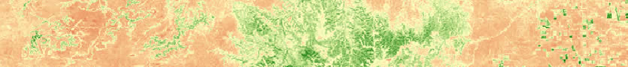
2006 Sept/October Landsat 5 TM Band 5 JPEG
|
|
|
|
2006 Sept/October Landsat 5 TM Band 5 TIFF
|
|
|
|
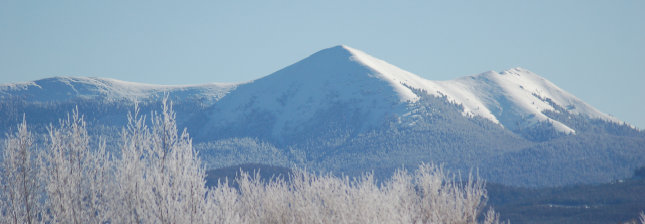
Landsat Coverage of Colorado (with town reference) JPEG
|
|
Colorado Landsat Tile Reference Map
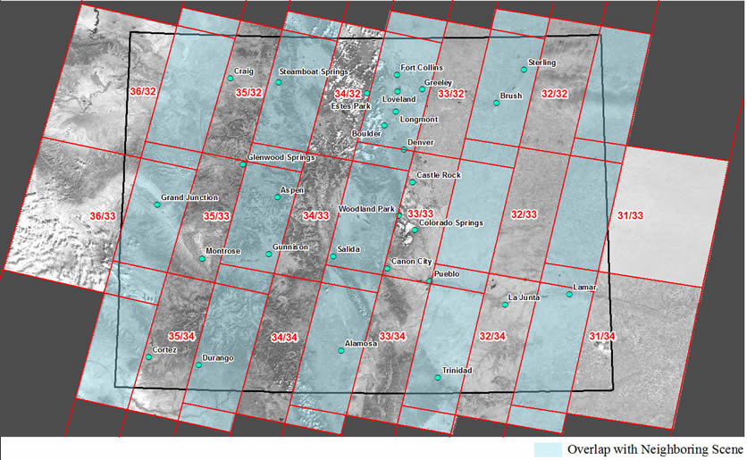
Red Green Blue Composite By Tile
If you would like a particular scene of Colorado Landsat RGB data previous to what is posted, contact us using the information at the bottom of this page. We have data archived back to June 2011 and are happy to share it with you.
|
Most Recent Landsat RGB Composite (RGB_Path_Row)
|
Download
|
Metadata
|
|---|---|---|
|
October RGB Composite 31_33
|
|
|
|
October RGB Composite 31_34
|
|
|
|
October RGB Composite 32_32
|
|
|
|
October RGB Composite 32_33
|
|
|
|
October RGB Composite 32_34
|
|
|
|
October RGB Composite 33_32
|
|
|
|
October RGB Composite 33_33
|
|
|
|
October RGB Composite 33_34
|
|
|
|
October RGB Composite 34_32
|
|
|
|
October RGB Composite 34_33
|
|
|
|
October RGB Composite 34_34
|
|
|
|
October RGB Composite 35_32
|
|
|
|
October RGB Composite 35_33
|
|
|
|
October RGB Composite 35_34
|
|
|
|
October RGB Composite 36_32
|
|
|
|
October RGB Composite 36_33
|
|
|